


78 km | 91 km-effort

Tous les sentiers balisés d’Europe PRO


Gratisgps-wandelapplicatie
 SityTrail
IGN / Geografische instituten
SityTrail World
De wereld gaat voor u open
Tocht Te voet van 4,3 km beschikbaar op Pays de la Loire, Vendée, La Chapelle-aux-Lys. Deze tocht wordt voorgesteld door SityTrail - itinéraires balisés pédestres.
Trail created by Commune de la Chapelle-aux-Lys.
Symbol: yellow bar and yellow star on white ground


Quad

Stappen
Stappen

Stappen
Stappen

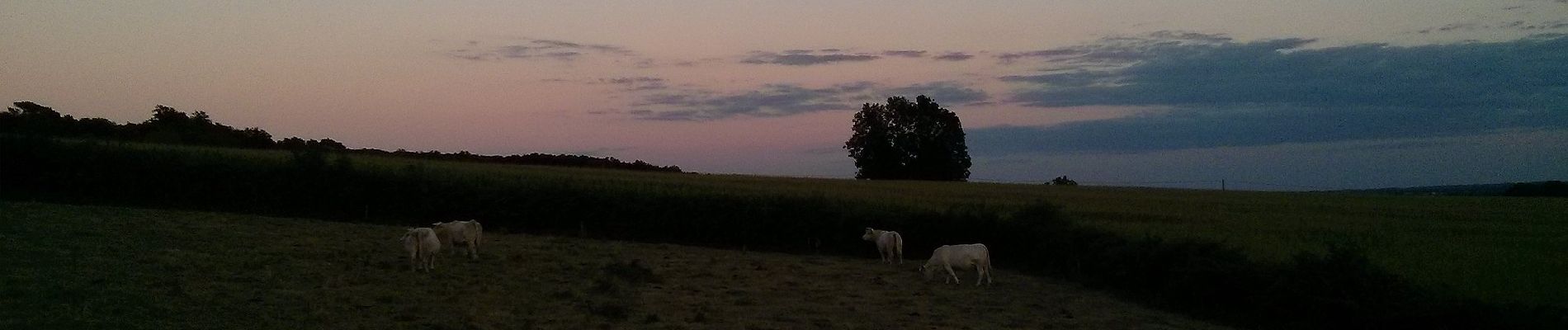
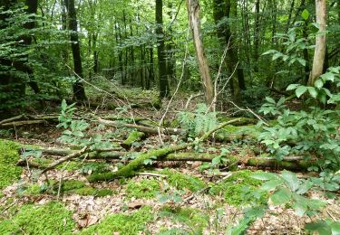
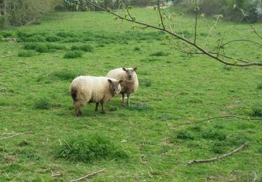
Te voet
Te voet
Stappen

Fiets